Looking for design inspiration? Shop our curated collections!

Boundary: Bleed area may not be visible.

Inside Message (Optional)
Inside View

by Nicoolay
$4.95
Quantity
The more you buy... the more you save.
Orientation
Image Size
Product Details
Our greeting cards are 5" x 7" in size and are produced on digital offset printers using 100 lb. paper stock. Each card is coated with a UV protectant on the outside surface which produces a semi-gloss finish. The inside of each card has a matte white finish and can be customized with your own message up to 500 characters in length. Each card comes with a white envelope for mailing or gift giving.
Design Details
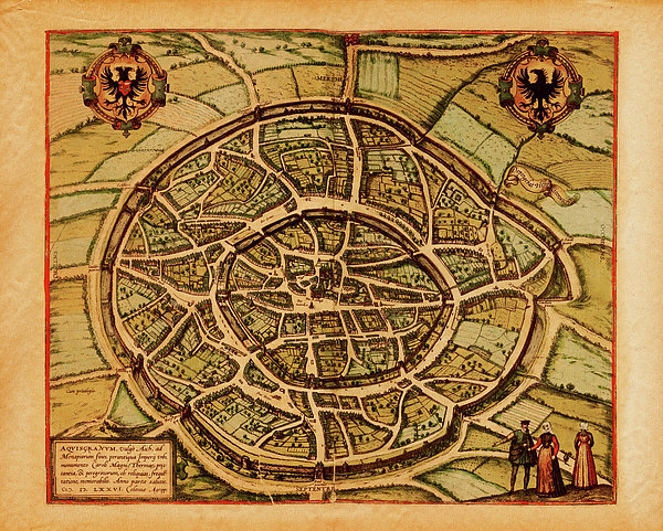
Antique illustration depicting Wien, Austria. Print published by Braun and Hogenberg in Civitates Orbis Terrarum in 1575. Photo by N. Staykov... more
Ships Within
2 - 3 business days
Antique illustration depicting Wien, Austria. Print published by Braun and Hogenberg in Civitates Orbis Terrarum in 1575. Photo by N. Staykov (2007)
Image provided by Getty Images.
$4.95


There are no comments for Medieval Maps And Illustrations I View. Click here to post the first comment.