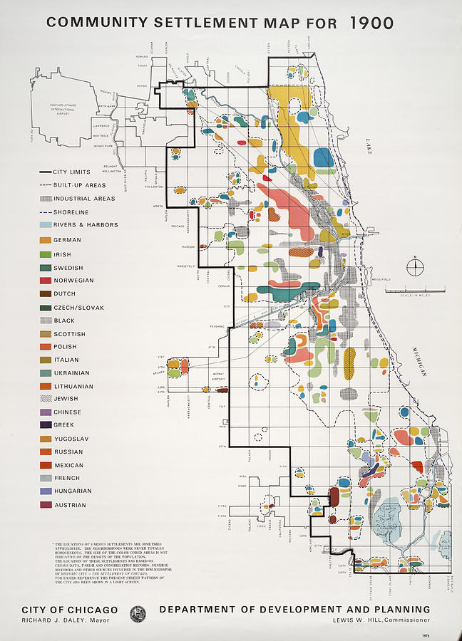
Community Settlement Map, Chicago

by Chicago History Museum
Title
Community Settlement Map, Chicago
Artist
Chicago History Museum
Medium
Photograph - Photography
Description
UNITED STATES - CIRCA 1976: A community settlement map for the year 1900 shows Chicago to be a multi-ethnic and biracial crossroads. Published by the City of Chicago Department of Development and Planning in 1976. (Photo by Chicago History Museum/Getty Images)
Image provided by Getty Images.
Uploaded
January 20th, 2019
Statistics
Viewed 4,831 Times - Last Visitor from New York, NY on 04/16/2024 at 9:21 AM
Embed
Share
Sales Sheet
Tags
Image ID
87226404
Comments
There are no comments for Community Settlement Map, Chicago. Click here to post the first comment.


